Recent
-
-
Introducing Version 4.0.0 of the MicroStrain ROS Driver
Jan 29, 2024 /
-
-
-
Enhancing Vision-Based Robots with IMUs
Dec 19, 2023 /
-
-
-
MicroStrain to Join the HBK Family
Sep 18, 2023 /
-
-
-
Four Ways to Improve Your IMU Performance
Jun 30, 2023 /
-
Engineering Q&A: Tracking Satellite Signals Beyond the Visual Line of Sight
- By Elena /
- Published Thu, 05/07/2020 - 08:04
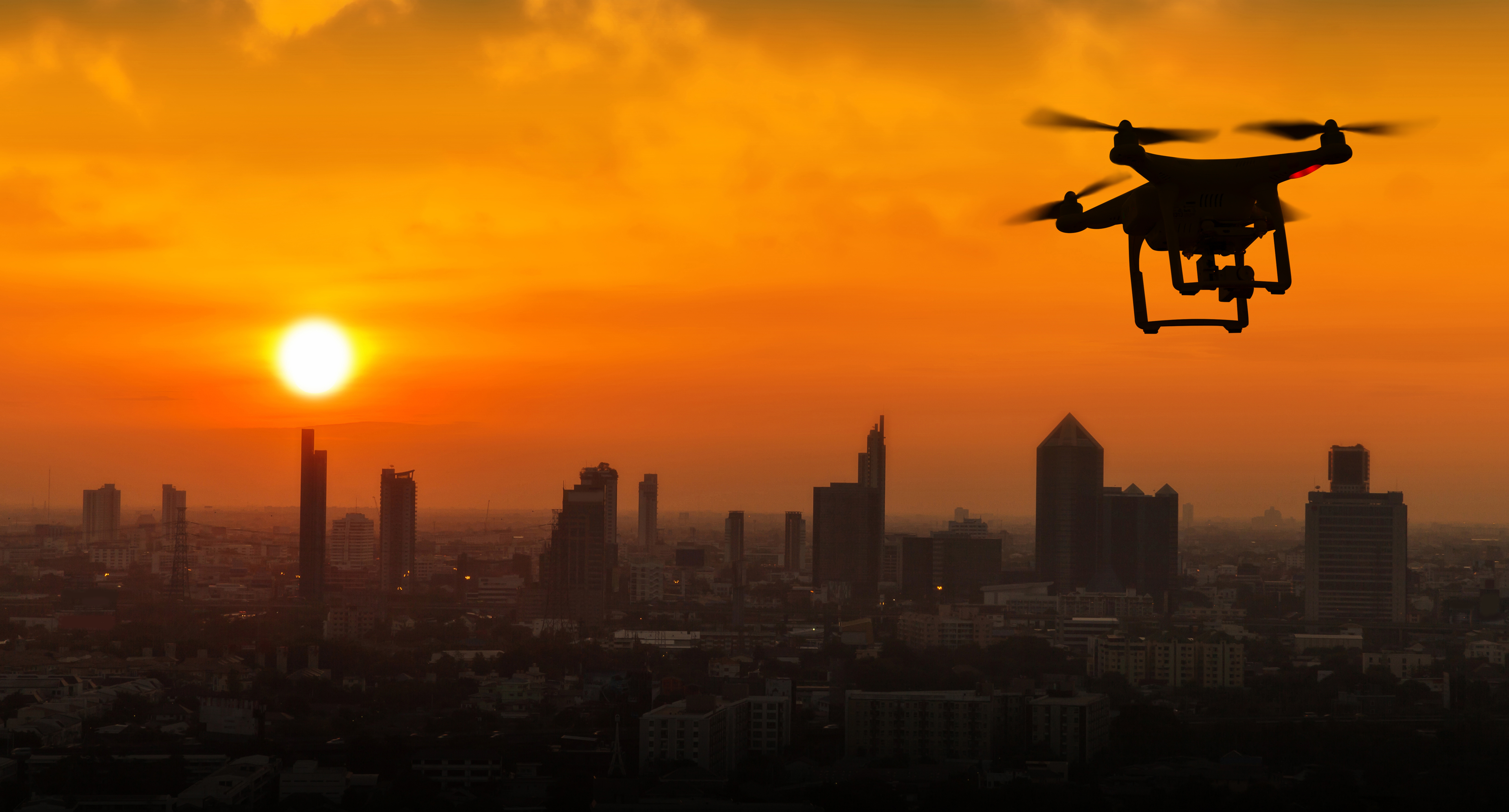
Have you experienced challenges navigating aerial drones beyond the visual line of sight? Whether for package delivery, capturing aerial footage or even reconnaissance mapping, a drone’s position must be kept on track. Concerns over lost or weak satellite signals – due to an urban canyon, tunnel or other anomaly, make it is necessary to bridge the gap between good and bad signal coverage areas.
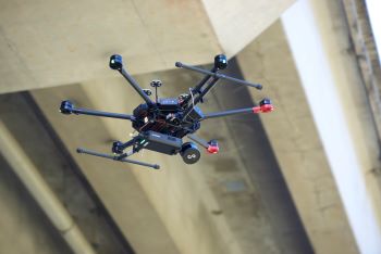 To ensure the highest degree of accuracy, a dual-antenna, RTK-capable inertial navigation system (INS) is needed. These INS systems integrate accelerometers, gyroscopes, and other optional sensors with global positioning systems (GPS/GNSS) and RTK references stations to provide an accurate estimation of an object’s position, velocity, heading, and attitude (orientation in space.) Our GQ7 GNSS/INS is ideally suited for applications such as drones, robotics and unmanned vehicle navigation.
Below is a list of frequently asked questions. If you have additional questions about incorporating this sensing technology into your application, please fill out our contact form and one of our engineers will follow up to help identify the best solution for you.
Frequently Asked Questions
Q. How is an inertial navigation system different from traditional GNSS?
A. Rather than relying solely on satellite signals to determine position and velocity, inertial navigation systems fuse information from accelerometers and gyroscopes (inertial sensors) together with satellite data to provide a smoother and more accurate solution, as well as maintain this solution during GNSS outages. An added benefit of this integration is the determination of the vehicle’s attitude, providing a full position, velocity, and attitude (PVA) solution to the user. The GQ7 includes the following additional sensors to maintain an accurate estimation of PVA:
- Dual-antenna heading measurements
- Barometric pressure sensing for altitude measurement
- Magnetometer for back-up heading measurements
- Wheel odometry support circuitry for speed measurements
- API support for external sensor measurements
Q. Where are inertial navigation systems (INS) used?
A. Arial drones, unmanned vehicles and autonomous robots typically rely on inertial navigation systems such as the GQ7.
Q. What environments can a user expect GNSS signal disruption?
A. Obvious examples are travelling through tunnels, operating underwater or in other underground environments, but GNSS signals may be completely blocked, partially obscured, or adversely reflected in many situations. Urban canyons, dense urban areas where streets are flanked by tall buildings on one or more sides, are well known to cause GNSS signal issues. Less obvious are construction sites, tree-lined neighborhoods, and operating near large structures that partially block the open sky or cause GNSS signals to bounce around before being received by the antenna. In fact, depending on your application, your own vehicle may disrupt GNSS signals!
Q. What is RTK positioning and how does it benefit an inertial navigation system (INS)?
A. RTK, or real-time kinematic positioning, fuses raw satellite signal information from a mobile GNSS receiver, such as those found in the GQ7, with information from external base stations, such as those in the SensorcloudRTK network. By performing an operation called double-differencing on the signal information, the RTK algorithm removes certain error sources that affect position accuracy. A complex series of steps allows the algorithm to use the satellite carrier-phase measurements, which are much more accurate than traditional pseudorange measurements. This results in position accuracies on the order of 2 centimeters, far more accurate than the traditional 2.5-meter accuracy provided by traditional GNSS positioning algorithms. This increase in accuracy not only affects position, but improves the INS’s estimate of velocity and attitude as well.
Q. How easy is it to integrate an RTK INS system?
A. Simple - the 3DMGQ7-GNSS/INS is a complete, single-vendor system that is easily installed and operated by the user. The SensorCloud RTK service provides seamless RTK correction information to either the optional 3DMRTK cell-network-enabled dongle or directly to the customer’s interface computer via an internet connection. Supporting software, SDKs, and complete documentation make software integration a snap. Finally, Microstrain’s world class customer support is always eager to help!
Q. How accurate is the 3DMGQ7?
A. Position accuracy is specified at up to 2-cm with RTK corrections, 0.05 m/s velocity accuracy, 0.1° roll/pitch accuracy and 0.25° heading accuracy when using dual-antenna GNSS. Additionally, the 3DMGQ7 adaptive Kalman filter provides superior vibration, noise, and sensor anomaly rejection.
Q. How is the 3DMGQ7 different from competitors?
A. The 3DMGQ7 provides global multiband GNSS coverage, RTK correction capability, dual-antenna heading, and calibrated MEMS sensor performance over the entire operating temperature range in a small, lightweight, low-power package. The 3DMGQ7 is a complete out-of-the-box, centimeter-level accuracy navigation solution that can be paired with the SensorCloud™ RTK network and the optional 3DMRTK dongle, providing a single-vendor RTK INS solution. Additionally, the Microstrain adaptive Kalman filter technology is superior to competing products in rejecting anomalous measurements, an important feature in real-world applications.
Q. What are the best features of the 3DMGQ7?
A. Size, Performance, and Cost. As an all in one solution the 3DMGQ7 enables engineers to design-in a proven RTK INS solution that is reliable and easy to use, while maintaining their low cost and small size requirements.
More questions? Found what you’re looking for? Fill out this form to connect with one of our engineers.
Featured product: 3DMGQ7-RTK GNSS/INS
Related Article
New Complete Network RTK Platform for Improved Navigation in Drones, Robots, UVs and AVs