

MICROSTRAIN™ GNSS/INS Aided Navigation Systems
Industrial and tactical-grade all-in-one navigation solutions
Contact UsAn inertial navigation system (INS) integrates accelerometers, gyroscopes, and other sensors with global positioning systems (GPS/GNSS) and other location references to provide estimation of an object’s position, velocity, heading, and orientation in space. MicroStrain’s inertial sensors can be used in applications such as robotics and unmanned vehicle navigation.
Which INS is right for you?
Product Class
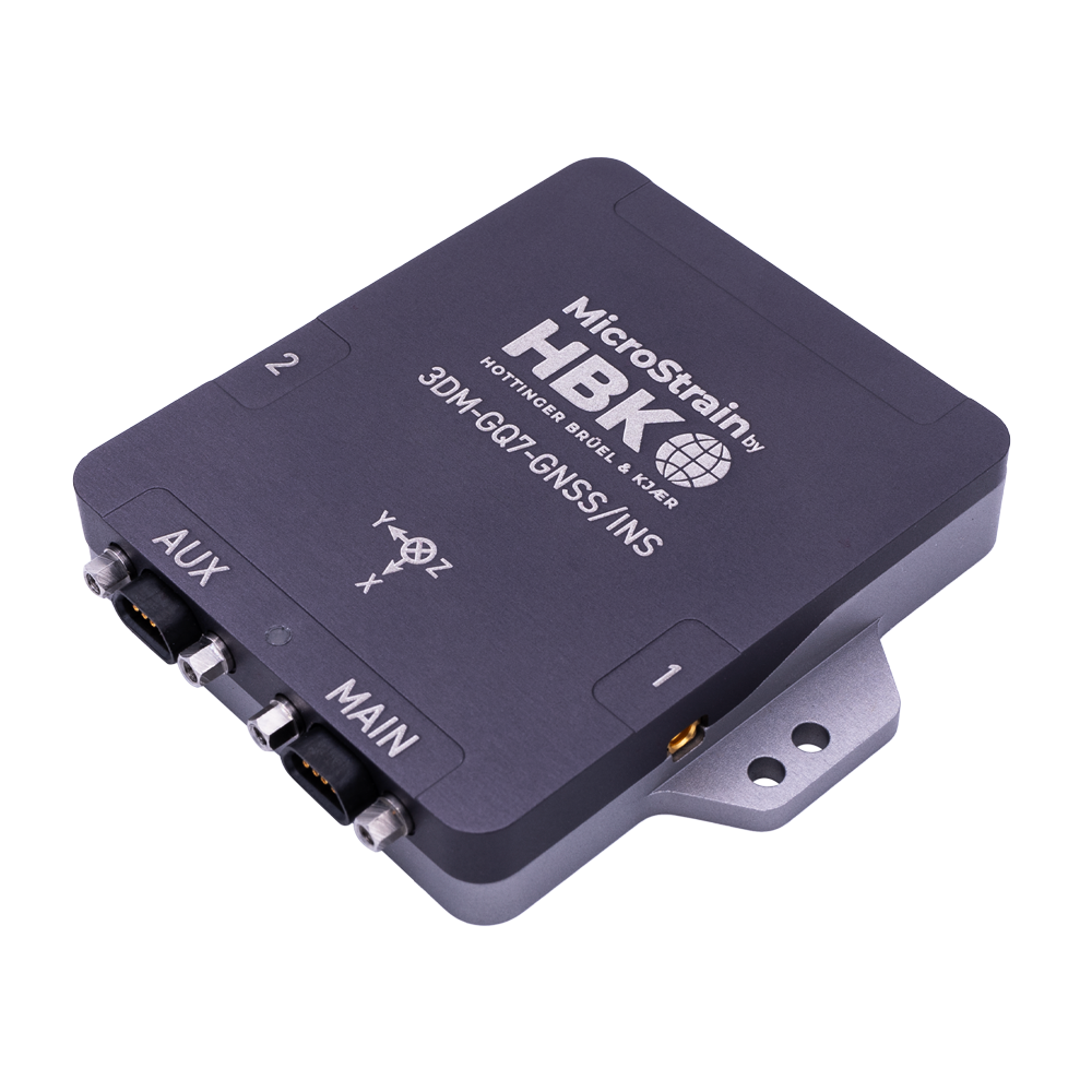
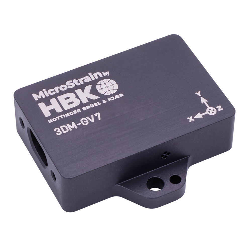
GNSS / INS
Features
- GNSS / GPS
- Magnetometer
- Gyroscope
- Accelerometer
Output
- Attitude
- Heading
- Pitch & Roll
- Angular Rate
- Acceleration
- Inclination
- GNSS / GPS
- Position
- Velocity
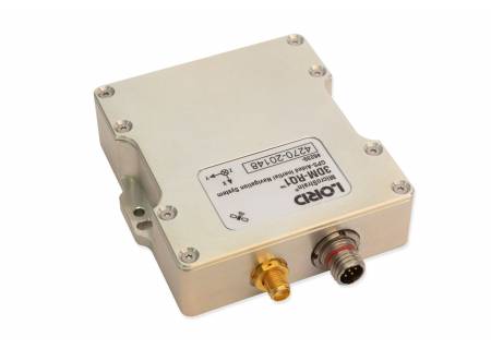
High Performance Grade

INS
- External GNSS input
- Magnetometer
- Gyroscope
- Accelerometer
- Auto-Adaptive Extended Kalman Filter (EKF)
- All AHRS outputs, plus:
- GNSS/GPS
- Position
- Velocity
- Attitude
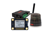
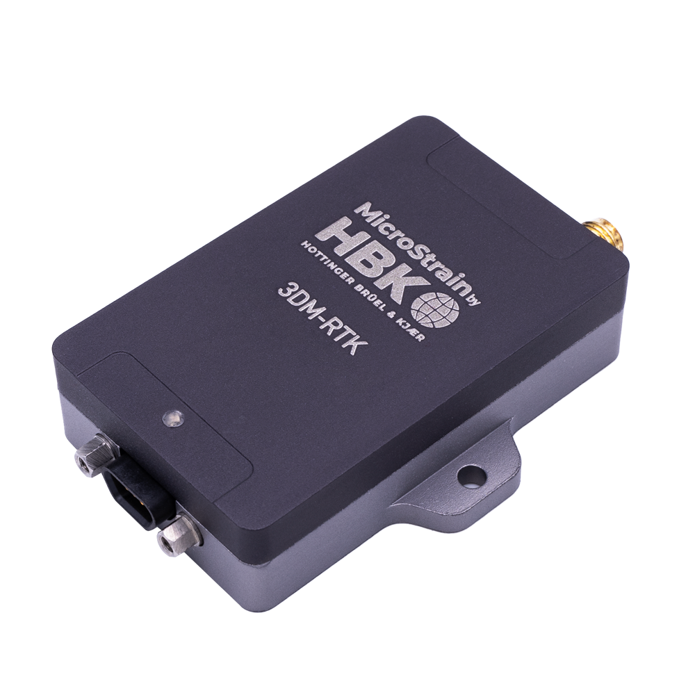
RTK Modem
- RTCM Output
- Cloud based Network RTK
- 3DM-GQ7 compatibility

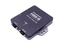
GNSS Aided Inertial Navigation System
A low-cost solid-state inertial navigation system (INS) for mobile robotics application provides navigation support which includes an Extended Kalman Filter (EKF) and conducts estimation of the position and orientation of a moving robot vehicle. Two gyroscopes are also used to evaluate the estimation of the orientation of the robot. For unmanned aerial vehicles (UAVs), and survey/mapping, an inertial navigation system, when compared to the implementation of SLAM in 2D environments, airborne implementation imposes several difficulties in terms of computational complexity and loop closure, with high nonlinearity in both vehicle navigation and observations. An implementation of airborne SLAM is formulated to relieve this computational complexity in both direct and indirect ways. Our implementation is based on an Extended Kalman Filter (EFK) which uses data from an inertial measurement unit (IMU) collected from its vision system.
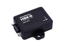
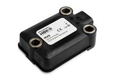
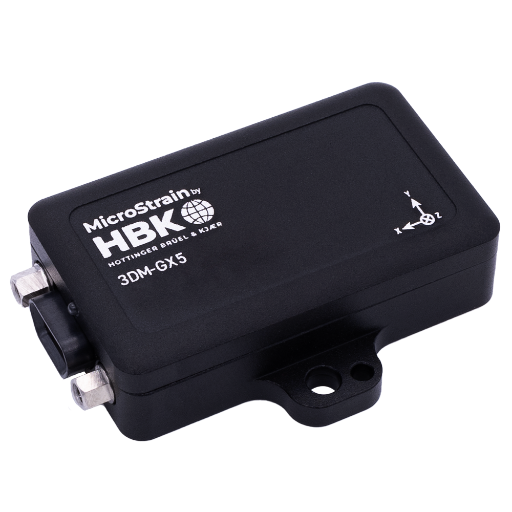
Tactical and Rugged Grade GNSS/GPS Aided INS Solution
Depending on the application needed to support navigation, tactical versus high performance will determine the packaging involved to ensure durability and stability. For tactical grade applications, such as platform stabilization in high-vibration and shock environments, strong enclosure and ruggedized packing will ensure durability. For mobile robots and unmanned ground vehicles (UGV) applications, a high-performance industrial grade package will be more appropriate.
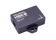
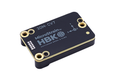
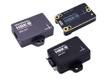
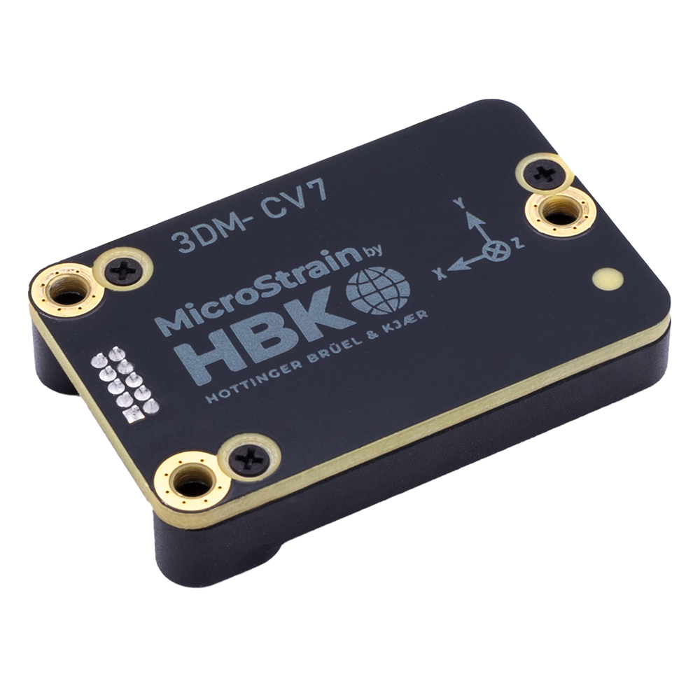
High Performance Industrial Grade GNSS/GPS Aided OEM INS Solution
Offering an all-in-one navigation solution featuring a high performance integrated multi-constellation GNSS receiver, our navigation solution with GPS receiver is fully calibrated, temperature compensated and aligned for highly accurate outputs. High-performance industrial sensors offer the option of our general packaging or an optional OEM solution which allows for direct surface mount or chassis mount with ribbon cable optional packaging. Such solutions are available for drone or robotic navigation, mobile mapping, SLAM and position navigating and timing (PNT) applications.
Applications
Antenna-Pointing and Platform Stabilization
Antenna pointing systems use internal sensor data to actively point the antenna to a desired satellite position in the sky, thus collecting actual location data for real time roll, pitch and heading information for antenna pointing applications and vehicle heading. Microstrain's INS sensors collect this data and provides platform stability.
Robotics
Because they can be programmed to perform dangerous, dirty and/or repetitive tasks with consistent precision and accuracy, industrial robots are increasingly used in a variety of industries and applications. Using Microstrain's INS within an industrial robot, allows for real time stability and terrain compensation.
Drone Navigation
Drones are used across various applications, including agriculture, surveillance and navigation. Times occur when a drone lacks GPS signals such as under a bridge, inside a cave or in a tunnel. Using Microstrain's INS sensors allows the drone to navigate safely and utilizing our navigation capability via autopilot and flight control.
Not sure which INS/GNSS is better for you? Connect with one of our representatives and let us help you determine which sensors will work best for your application.
Contact Us