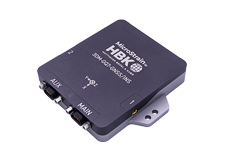
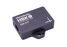
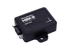
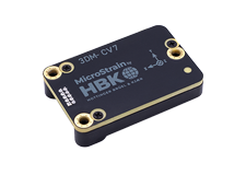


MicroStrain's cost-effective inertial and wireless sensing solutions enable a broad range of mapping, tracking and surveying applications across industries including agriculture, civil engineering, technology, fleet management, research & development and more.
Our lightweight inertial sensing capabilities provide comprehensive solutions for a variety of mapping and scanning applications including mobile mapping, LiDar mapping, position navigation and timing (PNT), simultaneous localization and mapping (SLAM), handheld scanners and terrestrial scanners. Additionally, our inertial sensing solutions enable location tracking (with or without GPS signals), landscape and terrain safety scanning and surveying, as well as surveying vehicle’s surroundings and physical environments for collision prevention.
In addition, MicroStrain offers expertise in wireless data acquisition, with sensors designed to measure strain, vibration, pressure, load, temperature, and voltage. MicroStrain's sensors have been proven in harsh environments, thus earning their reputation of having both hardwired reliability and wireless simplicity.

Case Study
John Bergstrom
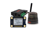
A case study of the GQ7 with dual antenna and RTK modem to collect navigation and position data using SensorConnect Software

Case Study
ParkerHannifin MicroStrain
MicroStrain inertial sensors help Team Explorer, from Carnegie Mellon and Oregon State University win the first 2019 DARPA challenge event. with both aerial and ground robots.